

About Florida Building & Land Surveying – Fort Myers
Your Trusted Fort Myers Land Surveying Experts
Looking for licensed land surveyors in Fort Myers, FL? Led by Rick Morales, PSM, our team provides accurate, reliable, and fast land surveying services for homeowners, developers, contractors, engineers, and municipalities throughout Lee, Collier, and Charlotte Counties.
We specialize in boundary surveys, ALTA/NSPS land title surveys, topographic surveys, construction staking, FEMA Flood Elevation Certificates, and more — ensuring every project is compliant with local regulations, flood zone requirements, and permitting standards.
📞 Call us today at (877) 894-8001 for a free quote!


Our Fort Myers Land Surveying Services
We proudly serve Southwest Florida with professional, Florida-compliant land surveying solutions:
Boundary Surveys
Establish accurate property lines and legal boundaries for residential and commercial properties.
ALTA/NSPS Land Title Surveys
Detailed surveys that meet national standards for commercial and development transactions.
Topographic Surveys
Map contours, elevations, and land features to support site design and planning.
Construction Layout & Staking
Precise layout and staking services to ensure your project is built to exact specifications.
FEMA Elevation Certificates
Certified elevation data for flood insurance, FEMA compliance, and permitting.
Subdivision Plats & Lot Splits
Expert preparation of subdivision plats and lot splits for new developments.
As-Built Surveys
Document completed structures and improvements for verification and compliance.
Tree & Utility Surveys
Map vegetation, power lines, and underground utilities for safe and efficient project planning.
Technology & Expertise
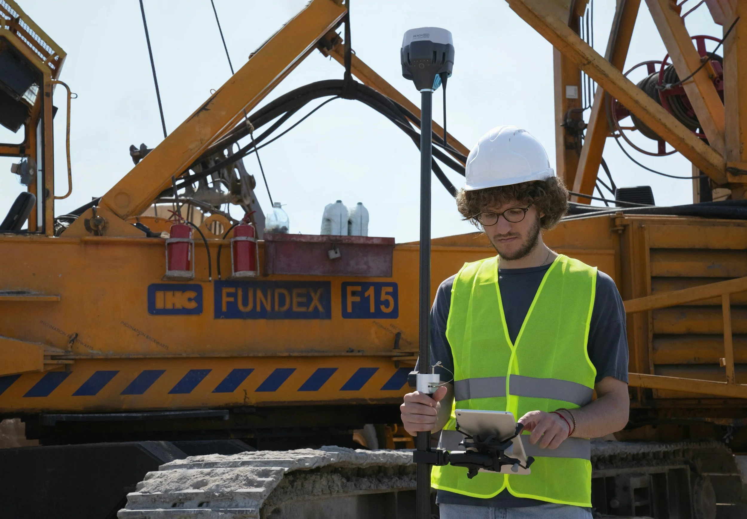
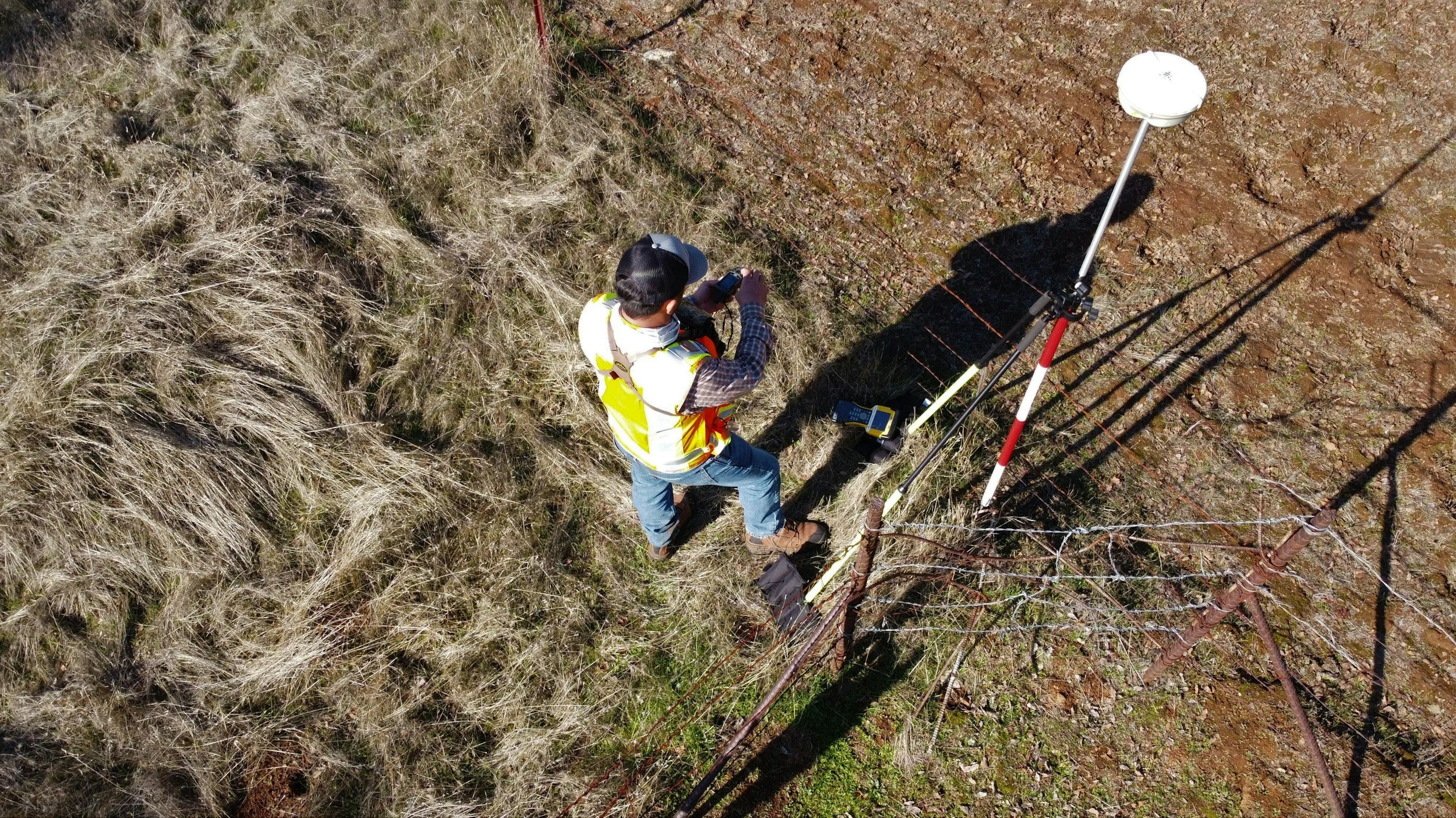
GPS & RTK
Dual Frequency GPS systems and RTK technology for precise positioning.
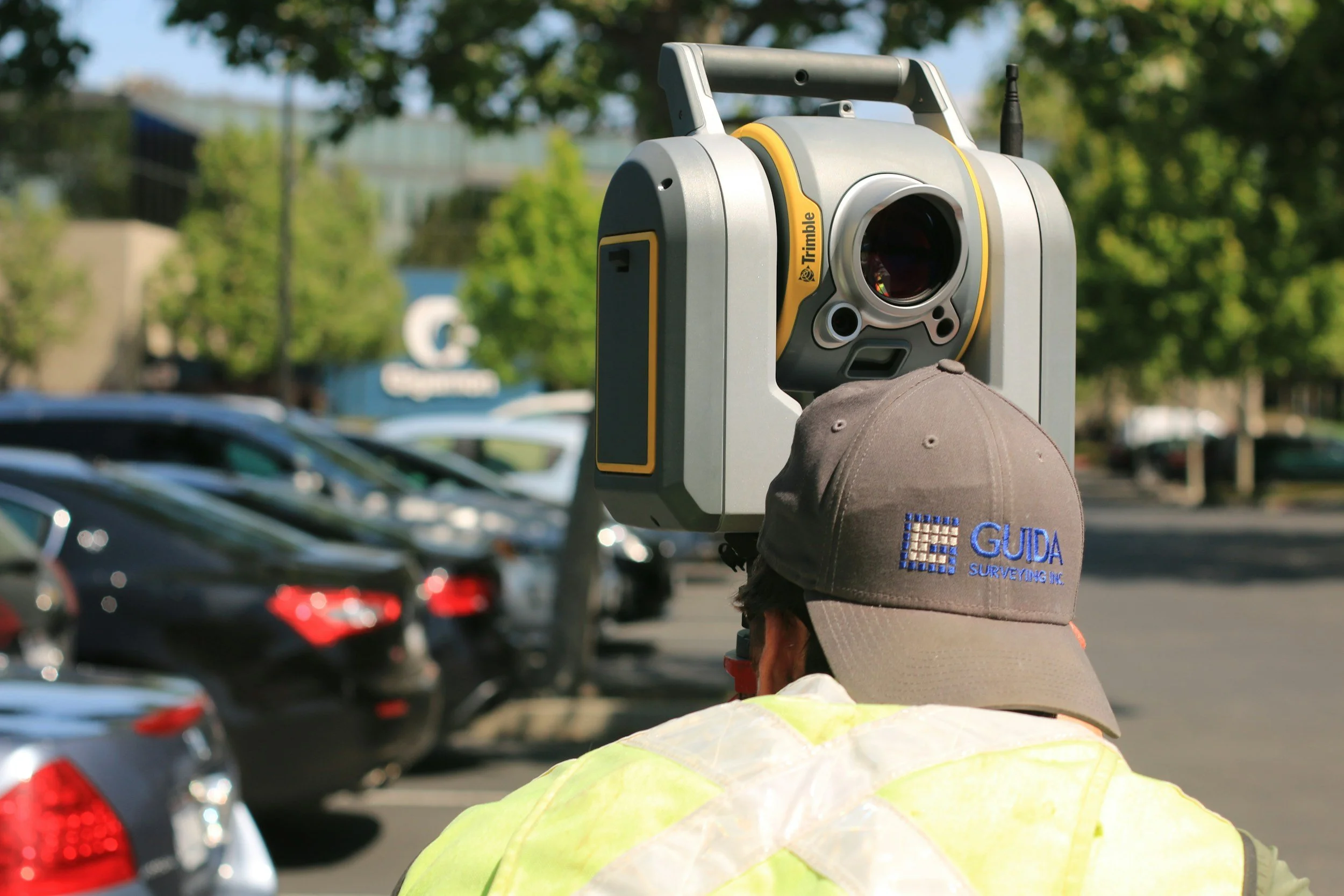
Robotics
Robotic total stations for accurate measurements and faster surveys.
LiDAR Mapping
High-resolution LiDAR for topographic and terrain data collection.
Aerial Surveys
Drone and aerial mapping control for comprehensive property analysis.
Office QA & Drafting
Autodesk AutoCAD and Carlson Survey systems for rapid, accurate deliverables.
Who We Serve
Who We Serve
We work with a wide range of clients across Southwest Florida:
- Residential & Commercial Developers
- Attorneys & Title Companies
- Municipalities & Government Agencies
- Real Estate Professionals
- Private Landowners
Why Property Owners Trust Us
- Licensed & Insured Surveyors: Professional, reliable, and compliant.
- Local Expertise: Decades of experience navigating Southwest Florida zoning, flood zones, and permitting processes.
- Fast Turnaround Times: Surveys completed on schedule to keep projects on track.
- Exceptional Accuracy: Reduce costly errors with precise measurements.
- Clear Reporting: Easy-to-read survey documentation for homeowners, developers, and municipalities.
Frequently Asked Questions (FAQ)
Do I need an ALTA survey for my property?
ALTA/NSPS surveys are recommended for commercial properties, land development, or real estate transactions requiring lender approval.
How long does a boundary survey take?
Most boundary surveys are completed within 5 business days, depending on property size and complexity.
Can you provide surveys for insurance purposes?
Yes! We provide FEMA-compliant Elevation Certificates for flood insurance and regulatory compliance.

Contact Our Fort Myers Team Today
Contact Our Fort Myers Team Today
Ready for an accurate, licensed land survey in Fort Myers or Southwest Florida? Our team provides fast, reliable, and Florida-compliant surveys for homeowners, developers, and contractors.
📞 Call (877) 894-8001
📧 Email: info@inspectionsandengineering.com
Request a Free Quote Online – Get started today and see why property owners across Collier, Lee, and Charlotte Counties trust our expert surveying services.