

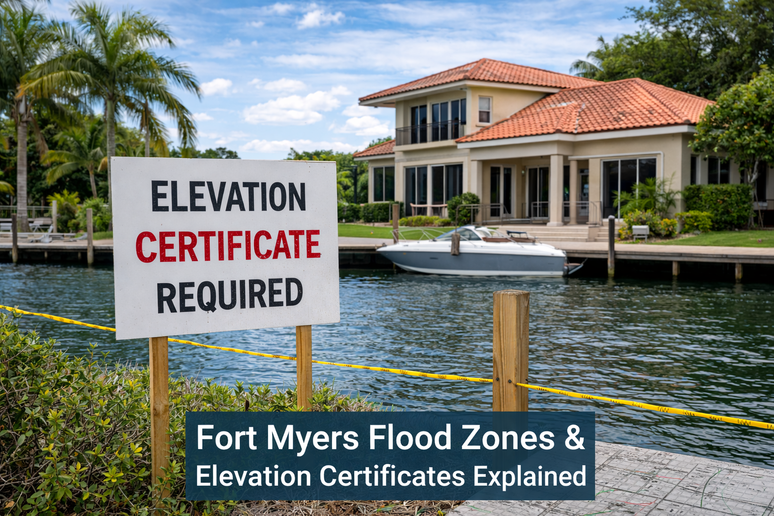
Fort Myers Flood Zones & Elevation Certificates Explained
Living in Fort Myers means enjoying beautiful waterfront views, canals, and proximity to the Gulf of Mexico — but it also means understanding flood risk. Flood zones and elevation certificates play a major role in buying, insuring, and building property in Lee County. Unfortunately, many homeowners and buyers are unsure what these terms mean or when they are required.
This guide explains Fort Myers flood zones, what an elevation certificate is, and why it may be one of the most important documents for your property.
What Are Flood Zones?
Flood zones are geographic areas defined by the Federal Emergency Management Agency (FEMA) that show the level of flood risk for each property. These zones are shown on Flood Insurance Rate Maps (FIRMs) and are used by lenders and insurance companies to determine whether flood insurance is required.
In Fort Myers and throughout Lee County, flood zones are common due to:
Proximity to the Caloosahatchee River
Canal and waterfront neighborhoods
Low elevation and flat terrain
Storm surge risk from hurricanes
Common Flood Zones in Fort Myers
Here are the most common flood zones you’ll see in Fort Myers:
Zone X (Low Risk): Flood insurance is usually not required, but still recommended.
Zone AE or A (High Risk): Flood insurance is typically required by lenders.
Zone VE (Coastal High Risk): Highest risk areas near the coast and barrier islands, subject to storm surge and wave action.
If your property is in a high-risk zone, flood insurance and elevation documentation are often mandatory.
What Is an Elevation Certificate?
An elevation certificate is an official document prepared by a licensed land surveyor that shows the elevation of a building compared to the base flood elevation (BFE) set by FEMA.
It includes:
Ground elevation
Lowest floor elevation
Flood zone designation
Building and equipment elevations
This certificate helps determine:
Whether your home is above or below the required flood level
How much flood insurance will cost
Whether your property qualifies for reduced insurance rates
When Do You Need an Elevation Certificate in Fort Myers?
You may need an elevation certificate if:
You are buying or selling a property in a flood zone
Your lender requires it for loan approval
You want to lower your flood insurance premium
You are building or remodeling in a flood-prone area
You are disputing a flood zone classification
Many homeowners in Fort Myers discover they are paying thousands more per year for flood insurance simply because they don’t have an elevation certificate proving their home sits above the base flood level.
Why Elevation Certificates Matter in Fort Myers
Flood insurance rates in Southwest Florida can be expensive. An accurate elevation certificate can:
Reduce flood insurance premiums
Eliminate the need for flood insurance in some cases
Help with FEMA map amendments (LOMA / LOMR-F)
Protect you during resale and refinancing
After major storms and hurricanes, insurance companies often become stricter, making elevation certificates even more important.
Who Can Prepare an Elevation Certificate?
In Florida, elevation certificates must be completed by a:
Licensed Professional Surveyor and Mapper
Licensed Engineer
Certified Floodplain Manager (in some cases)
Using a local Fort Myers land surveyor is important because they understand:
Lee County permitting requirements
Local floodplain regulations
FEMA mapping updates
Coastal and canal-front property conditions
How Much Does an Elevation Certificate Cost in Fort Myers?
The cost typically ranges from a few hundred dollars, depending on:
Property location
Accessibility
Building type
Whether previous data is available
Compared to the potential savings on flood insurance, an elevation certificate is often a very smart investment.
Final Thoughts
Flood zones and elevation certificates are an important part of owning property in Fort Myers and throughout Lee County. With hurricane risk, rising insurance costs, and frequent updates to FEMA flood maps, understanding your flood zone status can protect both your home and your finances.
Whether you are buying a waterfront home, refinancing, building new construction, or trying to reduce your flood insurance premium, working with a licensed Fort Myers land surveyor to obtain an accurate elevation certificate is one of the best steps you can take.
If you are unsure of your property’s flood zone or need an elevation certificate in Fort Myers or Lee County, a professional land surveying firm can review your situation and provide the documentation you need to move forward with confidence.